Rousing ourselves for another day of adventuring!
Tyler cruising the gravel road up to Mesick
All stocked up
Mesick is a great little town to stock up in mid-ride or even if you're just up to ride the NCT for the day. The Mushroom Bar has tasty burgers, libations and other fried goodies. There's a nice grocery store next door to the bar to provision for any adventure and a few other spots in town for most any need. After departing Mesick we began our trek southeast towards the highest point in the Lower Peninsula dubbed Briar Hill. From Mesick to Briar hill one can expect to gain about 900 feet of elevation in some of the sandiest two tracks around. The "Mesick Mountains" are a popular off-roading area among Jeep enthusiasts and as such the two-tracks can range in conditions. We approached Briar Hill from the northeast and made the long ascent up forest roads to the small parking area at the base of the now closed two track approach. There is a very faint path that winds the remaining distance up to the summit. Very little denots you're on the top save a few footing from and old firetower and a missing USGS marker.
Forest road climb
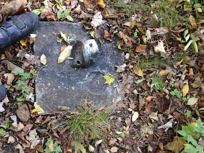
Firetower footing and missing USGS marker
Resting atop the summit
From Briar Hill we meandered through the national forest roads back towards the tiny town of Yuma for a short snack break before heading back up the ridgeline. The numerous forest roads in this area make for many options on routes and terrain. We chose to follow a route from Yuma to Ridge that i located as a Strava segment figuring that it must be legit since others had ridden it. The route hit some nice sandy areas that our Salsa Beargrease fatbikes tackled with ease, and as we got further up the roads brought us into mature hardwood forests with little undergrowth and stunning views. It felt as though we were riding through a church of sorts and the peacefulness was on par. From the ridge we headed back out to more modern dirt roads and bombed down into the town of Harrieta for a quick breather.
Enjoying the cruise downhill from Briar Hill to Yuma
Helpful signage
Two track cathedral
The road south out of Harrieta may be paved but at 295ft of elevation and 5% grade it knows how to burn a few matches. Loaded down on fatbikes the long climbs require a bit more patience and metering out of power, kind of like piloting a diesel freighter versus a 4 cylinder import. The punishment proved to be worth it with some pleasant views from the Caberfae overlook tower. The paved road was short lived as we departed once again to find more forest roads and rolling terrain. As our route meandered further south and east we began chatting about where to camp and what we wanted camp to be. Both of us agreed it would be preferable to be near a creek or river to wash up in, and we were willing to sacrifice views for that accommodation. On top of needing a refreshing dip we were also in need of a water source as our stores had dwindled rapidly through the tough terrain. Magical things can happen when you're out in the woods on a grand adventure, and i believe the next sequence of events was in that category. Being tired, thirsty and running short on daylight our indecisiveness and lack of a discreet camping location left us in a bit of a dither. Without a firm decision i figured we had best just get some water so we could check that off the list. As we cruised down the county road i spotted a earthen bridge crossing indicating the presence of a water source. Tyler wandered down to the creek with he filter to obtain some fresh drinking water and i followed shortly after a snack to check the creek out. As i was walking down to the creek i spotted a railing in the woods and as i followed it with my eyes i saw what looked like a small cabin. Upon further inspection there was an Adirondack shelter of sorts with a fire pit and old stairs leading down to the creek it appeared we came across a decommissioned campground or access site.
Caberfae lookout
Forest service roads
Water stop
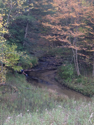
Seemingly inconspicuous creek
Whoa, sweet shelter!
Leaving some things unplanned can turn out to be pretty sweet sometimes, and this case was no exception. Stoke level was high and it was a no brainer to settle down at the shelter for the night. After a quick soak in the creek and collecting a bunch of firewood we settled down for the evening with the creek trickling below and the stars gleaming above. Day 2 was by all accounts a success!
Panoramic view of our digs
Downing some grub by the fire
Sweet view overlooking the creek
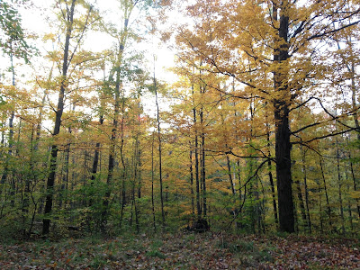
Fall colors
Keep your eyes peeled for the final installment of this journey!


Damn Sweet Fall adventure!! Michigan backcountry few ever experience, thanks for sharing!
ReplyDelete